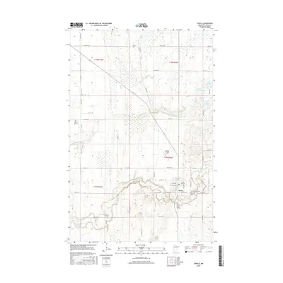
2016 Map of Fertile
USGS Topo · Published 2016About this map
The Sand Hill River winds through the southern portion of this landscape, its deep valley contrasting with the surrounding agricultural tablelands. The city of Fertile serves as the focal point, situated at the junction of several local routes such as Co Hwy 1 and Co Hwy 12. This region is dotted with numerous small lakes and basins, including Cheese Brown Lake, Kittleson Lake, and Little Andrew Lake, which appear as part of a complex wetland system in the northern townships. The historical Pembina Trl cuts diagonally across the terrain, recalling early transportation corridors through Polk County. Genealogists will find several burial grounds documented, from Concordia Cem and Saint Josephs Cem near the town center to the more remote Varnes Lutheran Cem to the northwest.
Find a feature on this map
50 named features on this map. Tap any name to fly to it.
Don’t see what you’re looking for? This feature index may not catch every label — zoom into the map to look around manually.
Map Details
Editions of this 2016 Fertile Map
This is the sole edition of this map. No revisions or reprints were ever made.
Other maps of this area

1918 · Twin Valley
USGS Topo · 1:62,500

1919 · Valley
USGS Topo · 1:62,500

1952 · Grand Forks
USGS Topo · 1:250,000

1956 · Grand Forks
USGS Topo · 1:250,000

1965 · Dugdale
USGS Topo · 1:24,000

1965 · Fertile
USGS Topo · 1:24,000

1965 · Melvin
USGS Topo · 1:24,000

1965 · Harold
USGS Topo · 1:24,000

1965 · Twin Valley NW
USGS Topo · 1:24,000

1965 · Flaming
USGS Topo · 1:24,000