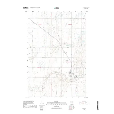
2019 Map of Fertile
USGS Topo · Published 2019About this map
Fertile is the primary settlement on this Polk County prairie landscape, situated near the southern bend of the Sand Hill River. The town is a concentrated hub of local history and community life, featuring the First Evanger Lutheran Church and several burial grounds, including Concordia Cem, Concordia East Cem, and Saint Joseph Catholic Cem. To the northwest, the isolated Varnes Lutheran Cem stands as a testament to the early rural parish structure of the region.
Find a feature on this map
54 named features on this map. Tap any name to fly to it.
Don’t see what you’re looking for? This feature index may not catch every label — zoom into the map to look around manually.
Map Details
Editions of this 2019 Fertile Map
This is the sole edition of this map. No revisions or reprints were ever made.
Other maps of this area

1918 · Twin Valley
USGS Topo · 1:62,500

1919 · Valley
USGS Topo · 1:62,500

1952 · Grand Forks
USGS Topo · 1:250,000

1956 · Grand Forks
USGS Topo · 1:250,000

1965 · Dugdale
USGS Topo · 1:24,000

1965 · Fertile
USGS Topo · 1:24,000

1965 · Melvin
USGS Topo · 1:24,000

1965 · Harold
USGS Topo · 1:24,000

1965 · Twin Valley NW
USGS Topo · 1:24,000

1965 · Flaming
USGS Topo · 1:24,000