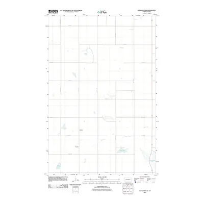
2011 Map of Fessenden SW
USGS Topo · Published 2011About this map
Dunkard Cemetery and Byrnjulson Cemetery are central landmarks in this rural portion of Wells County, reflecting the deep-rooted family and community history of North Dakota's agricultural landscape. The terrain is characterized by a network of drainage and prairie potholes, with Rocky Run winding across the township grid. Water bodies like Lake Ontario, Duck Lake, and Cottonwood Lake provide the primary natural relief in a region dominated by a systematic grid of section roads including 14th St NE and 38th Ave NE. The 2011 landscape documented here shows a meticulously organized rural geography where every section is defined by maintained routes, yet large portions of the land remain dedicated to natural hydrology and open acreage.
Find a feature on this map
20 named features on this map. Tap any name to fly to it.
Don’t see what you’re looking for? This feature index may not catch every label — zoom into the map to look around manually.
Map Details
Editions of this 2011 Fessenden SW Map
This is the sole edition of this map. No revisions or reprints were ever made.
Other maps of this area

1945 · Manfred
USGS Topo · 1:62,500

1948 · Fessenden
USGS Topo · 1:62,500

1948 · Manfred
USGS Topo · 1:62,500

1949 · Fessenden SW
USGS Topo · 1:24,000

1949 · Fessenden East
USGS Topo · 1:24,000

1949 · Emrick
USGS Topo · 1:24,000

1949 · Fessenden West
USGS Topo · 1:24,000

1950 · Manfred SE
USGS Topo · 1:24,000

1950 · Manfred
USGS Topo · 1:24,000

1951 · Bowdon
USGS Topo · 1:24,000