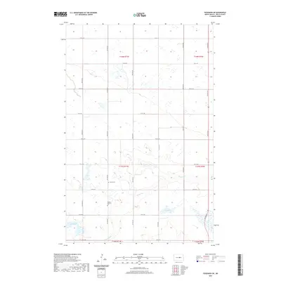
2020 Map of Fessenden SW
USGS Topo · Published 2020About this map
Rocky Run meanders across the prairie landscape of Wells County, shaping the drainage patterns of this North Dakota agricultural region. The landscape is dotted with numerous small wetlands and kettle ponds, a characteristic feature of the glaciated plains, including named bodies such as Duck Lake and the unusually named Lake Ontario. The rectilinear grid of the Public Land Survey System is clearly defined by local section-line roads like 39th Ave NE and 8th St NE, which serve as the primary conduits for transportation and farm access. For those researching local heritage, the map identifies key community burial sites such as the Bowdon Lutheran Cem and Dunkard Cem, which sit amidst the open fields of t147n r71w. These sites, along with the scattered water features, provide essential spatial context for a rural area defined by its systematic township and range organization.
Find a feature on this map
26 named features on this map. Tap any name to fly to it.
Don’t see what you’re looking for? This feature index may not catch every label — zoom into the map to look around manually.
Map Details
Editions of this 2020 Fessenden SW Map
This is the sole edition of this map. No revisions or reprints were ever made.
Other maps of this area

1945 · Manfred
USGS Topo · 1:62,500

1948 · Fessenden
USGS Topo · 1:62,500

1948 · Manfred
USGS Topo · 1:62,500

1949 · Fessenden SW
USGS Topo · 1:24,000

1949 · Fessenden East
USGS Topo · 1:24,000

1949 · Emrick
USGS Topo · 1:24,000

1949 · Fessenden West
USGS Topo · 1:24,000

1950 · Manfred SE
USGS Topo · 1:24,000

1950 · Manfred
USGS Topo · 1:24,000

1951 · Bowdon
USGS Topo · 1:24,000