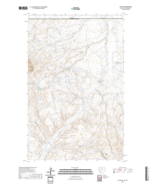
2024 Map of Fey Lakes
USGS Topo · Published 2024About this map
Sweet Grass Hills rise above a landscape defined by seasonal water and the international border between Canada and the United States. This remote stretch of Toole County is marked by a series of shallow basins and ephemeral drainages, including Fey Lakes, Ruby Johnson Lake, and the aptly named Alkali Lake. In the southern reaches, the Gold Butte Cem stands as a quiet marker of early settlement history near the drainage of Eclipse Gulch. The terrain is deeply textured by coulees such as Dead Horse Coulee, Barnes Coulee, and Miners Coulee, which channel runoff toward Fred and George Creek and Eclipse Creek. These landforms, along with the secluded The Deep Ground, illustrate a high-plains environment where water sources like Swan Lake and the 37N02E26DCDD01 Spring were critical for survival and land management.
Find a feature on this map
35 named features on this map. Tap any name to fly to it.
Don’t see what you’re looking for? This feature index may not catch every label — zoom into the map to look around manually.
Map Details
Editions of this 2024 Fey Lakes Map
This is the sole edition of this map. No revisions or reprints were ever made.
Other maps of this area

1945 · West Butte
USGS Topo · 1:62,500

1954 · Shelby
USGS Topo · 1:250,000

1958 · Shelby
USGS Topo · 1:250,000

1962 · Whitlash
USGS Topo · 1:24,000

1962 · Cameron Lake
USGS Topo · 1:24,000

1962 · Fey Lakes
USGS Topo · 1:24,000

1962 · Grassy Butte
USGS Topo · 1:24,000

1984 · Sweet Grass Hills
USGS Topo · 1:100,000
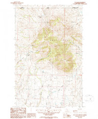
1986 · West Butte
USGS Topo · 1:24,000
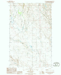
1986 · Fivemile Coulee East
USGS Topo · 1:24,000