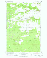
1953 Map of Fibre
USGS Topo · Published 1978About this map
Hiawatha National Forest dominates this northern Michigan landscape, where the Sault Ste Marie and St Paul railroad serves as the primary corridor for movement through the timberlands. The small settlements of Fibre, Minneapolis, and Dryburg are positioned along this rail line, reflecting a development pattern typical of the Upper Peninsula’s historical logging and transport era. This mid-century survey, updated in the late 1970s, captures the territory before modern intensive development, showing the complex drainage systems of Pine River, Biscuit Creek, and Trout Creek. In the southern portion of the map, the boundary between Chippewa and Mackinac Counties cuts through dense woodland and the headwaters of Chub Creek, while a Croud Landing Strip south of Fibre provides a window into the remote aviation infrastructure of the period.
Find a feature on this map
17 named features on this map. Tap any name to fly to it.
Don’t see what you’re looking for? This feature index may not catch every label — zoom into the map to look around manually.
Map Details
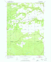
Editions of this 1953 Fibre Map
Other maps of this area

1931 · Ozark SE
USGS Topo · 1:31,680

1941 · Strongs
USGS Topo · 1:63,360

1941 · Brimley
USGS Topo · 1:63,360

1951 · Sullivan Creek
USGS Topo · 1:24,000

1951 · Raco
USGS Topo · 1:24,000

1951 · Kinross
USGS Topo · 1:24,000

1951 · Brimley
USGS Topo · 1:62,500

1951 · Strongs
USGS Topo · 1:62,500
1953 · Rudyard
USGS Topo · 1:24,000

1953 · Fibre
USGS Topo · 1:24,000