
1973 Map of Field SE
USGS Topo · Published 1975About this map
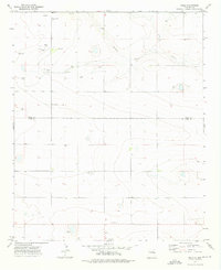
Running Water Draw meanders through the northeast corner of this high plains landscape in Curry County, defining the primary drainage for an otherwise arid expanse. During the early 1970s, the area remained characterized by vast agricultural sections and a network of windmills, denoted simply as Well and Wells across the terrain. These water sources were critical to the survival of local ranching operations in this portion of the Llano Estacado. Cultural developments, including the industrial activity at a Gravel Pit and the presence of Dead Horse Lake near the southern boundary, highlight the small-scale modifications to the natural topography. The survey also preserves the precise grid of section lines and fence boundaries that organized land ownership in this rural New Mexico territory.
Find a feature on this map
6 named features on this map. Tap any name to fly to it.
Don’t see what you’re looking for? This feature index may not catch every label — zoom into the map to look around manually.
Map Details
Editions of this 1973 Field SE Map
This is the sole edition of this map. No revisions or reprints were ever made.
Other maps of this area

1954 · Clovis
USGS Topo · 1:250,000

1957 · Portair
USGS Topo · 1:62,500

1957 · Melrose
USGS Topo · 1:62,500

1957 · Hammond Ranch
USGS Topo · 1:62,500

1958 · Clovis
USGS Topo · 1:250,000

1972 · Melrose East
USGS Topo · 1:24,000

1973 · Weber City
USGS Topo · 1:24,000

1973 · Melrose West
USGS Topo · 1:24,000

1973 · Field SW
USGS Topo · 1:24,000
1973 · Field
USGS Topo · 1:24,000