2021 Map of Fields Landing
USGS Topo · Published 2021About this map
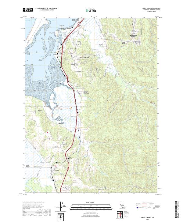
Humboldt Bay dominates the western edge of this coastal survey, where the Hookton Channel and Southport Channel navigate around shifting features like Buhne Spit Shoal. The shoreline is defined by established maritime and residential pockets, including the docks at Fields Landing and the residential community of King Salmon perched near Buhne Point. This landscape demonstrates a complex interface between industrial transport and educational development, as the Northwestern Pacific RR corridor runs parallel to the College of the Redwoods - Eureka Campus. To the south, the terrain rises toward Table Bluff, an area marked by its legacy as a regional focal point with the Table Bluff Cem and nearby Saint Patrick's Catholic Cem serving as significant genealogical anchors for the Eel River valley and Loleta area.
Find a feature on this map
112 named features on this map. Tap any name to fly to it.
Don’t see what you’re looking for? This feature index may not catch every label — zoom into the map to look around manually.
Map Details
Editions of this 2021 Fields Landing Map
This is the sole edition of this map. No revisions or reprints were ever made.