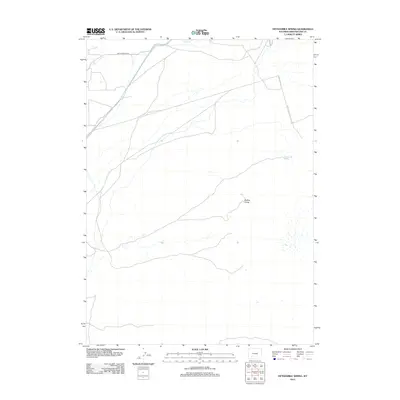
2012 Map of Fifteenmile Spring
USGS Topo · Published 2012About this map
Pacific Cr flows through the northern reaches of this high desert landscape in Sweetwater County, marking a rare watercourse in an otherwise arid expanse. The terrain is defined by subtle elevation shifts and scattered natural landmarks like the prominent Buffalo Hump. Human activity is sparse, centered primarily around the tracking of Eden Ryepatch Rd and the vital water source at Fifteenmile Spring. This 2012 survey by the U.S. Geological Survey illustrates a modern view of Wyoming's open range, where the intersection of natural hydrology and a few primitive roads dictates the movement across the territory.
Find a feature on this map
4 named features on this map. Tap any name to fly to it.
Don’t see what you’re looking for? This feature index may not catch every label — zoom into the map to look around manually.
Map Details
Editions of this 2012 Fifteenmile Spring Map
This is the sole edition of this map. No revisions or reprints were ever made.
Other maps of this area

1954 · Rock Springs
USGS Topo · 1:250,000

1955 · Lander
USGS Topo · 1:250,000

1958 · Lander
USGS Topo · 1:250,000

1958 · Rock Springs
USGS Topo · 1:250,000

1958 · Essex Mountain
USGS Topo · 1:62,500

1958 · Boars Tusk
USGS Topo · 1:62,500

1958 · Tule Butte
USGS Topo · 1:24,000

1961 · Lander
USGS Topo · 1:250,000

1962 · Rock Springs
USGS Topo · 1:250,000

1968 · Farson
USGS Topo · 1:24,000