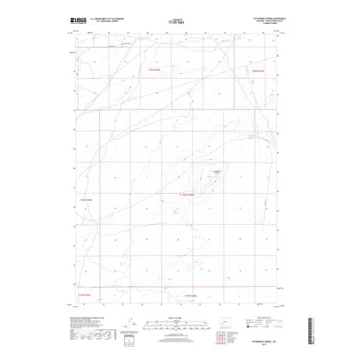
2017 Map of Fifteenmile Spring
USGS Topo · Published 2017About this map
Buffalo Hump dominates the central portion of this high desert landscape in Sweetwater County, rising prominently above the surrounding plains. The drainage of Pacific Cr crosses the northern sections of the map, while the eponymous Fifteenmile Spring provides a vital water source in the northeast. This 2017 survey by the U.S. Geological Survey captures a sparsely populated region defined by its topography and the network of unpaved roads, such as Eden Ryepatch Rd and Ryepatch Rd, which facilitate travel through the vast public lands. The map detail reflects the persistence of traditional land use patterns in Wyoming, showing the intricate section lines and range divisions of the Public Land Survey System that govern this remote territory.
Find a feature on this map
12 named features on this map. Tap any name to fly to it.
Don’t see what you’re looking for? This feature index may not catch every label — zoom into the map to look around manually.
Map Details
Editions of this 2017 Fifteenmile Spring Map
This is the sole edition of this map. No revisions or reprints were ever made.
Other maps of this area

1954 · Rock Springs
USGS Topo · 1:250,000

1955 · Lander
USGS Topo · 1:250,000

1958 · Lander
USGS Topo · 1:250,000

1958 · Rock Springs
USGS Topo · 1:250,000

1958 · Essex Mountain
USGS Topo · 1:62,500

1958 · Boars Tusk
USGS Topo · 1:62,500

1958 · Tule Butte
USGS Topo · 1:24,000

1961 · Lander
USGS Topo · 1:250,000

1962 · Rock Springs
USGS Topo · 1:250,000

1968 · Farson
USGS Topo · 1:24,000