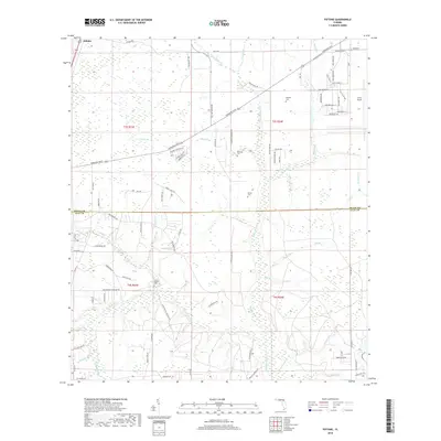
2018 Map of Fiftone
USGS Topo · Published 2018About this map
Fiftone occupies the northwest corner of this West Jacksonville landscape, where residential expansion meets the expansive wetlands and drainage basins of the Florida interior. The northeast is dominated by the industrial and aviation footprint of Cecil Airport, with its surrounding infrastructure including Aerospace Way and Authority Ave. This area shows a distinct transition from suburban street grids to the more open, creek-scored terrain typical of the Duval Co Clay Co border region.
Find a feature on this map
87 named features on this map. Tap any name to fly to it.
Don’t see what you’re looking for? This feature index may not catch every label — zoom into the map to look around manually.
Map Details
Editions of this 2018 Fiftone Map
This is the sole edition of this map. No revisions or reprints were ever made.
Other maps of this area

1917 · Cambon
USGS Topo · 1:62,500

1917 · Macclenny
USGS Topo · 1:62,500

1918 · Middleburg
USGS Topo · 1:62,500

1918 · Lawtey
USGS Topo · 1:62,500

1918 · Cambon
USGS Topo · 1:62,500

1918 · Macclenny
USGS Topo · 1:62,500

1941 · Middleburg
USGS Topo · 1:62,500

1948 · Jacksonville
USGS Topo · 1:250,000

1949 · Middleburg SW
USGS Topo · 1:24,000

1949 · Fiftone
USGS Topo · 1:24,000