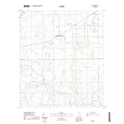
2021 Map of Fiftone
USGS Topo · Published 2021About this map
Jacksonville expansion and conservation efforts meet at the Duval Co Clay Co border in this modern survey. The eastern portion is dominated by the industrial and aviation infrastructure of Cecil Airport, while the western and southern reaches preserve the low-lying drainage basins of Yellow Water Cr and the N Fork Black Cr. The transition from rural settlement to modern conservation is evident in the network of recreational routes like the Sal Taylor Creek Preserve Trl and the Cecil Field Conservation Corridor Trl, which weave through forested wetlands.
Find a feature on this map
89 named features on this map. Tap any name to fly to it.
Don’t see what you’re looking for? This feature index may not catch every label — zoom into the map to look around manually.
Map Details
Editions of this 2021 Fiftone Map
This is the sole edition of this map. No revisions or reprints were ever made.
Other maps of this area

1917 · Cambon
USGS Topo · 1:62,500

1917 · Macclenny
USGS Topo · 1:62,500

1918 · Middleburg
USGS Topo · 1:62,500

1918 · Lawtey
USGS Topo · 1:62,500

1918 · Cambon
USGS Topo · 1:62,500

1918 · Macclenny
USGS Topo · 1:62,500

1941 · Middleburg
USGS Topo · 1:62,500

1948 · Jacksonville
USGS Topo · 1:250,000

1949 · Middleburg SW
USGS Topo · 1:24,000

1949 · Fiftone
USGS Topo · 1:24,000