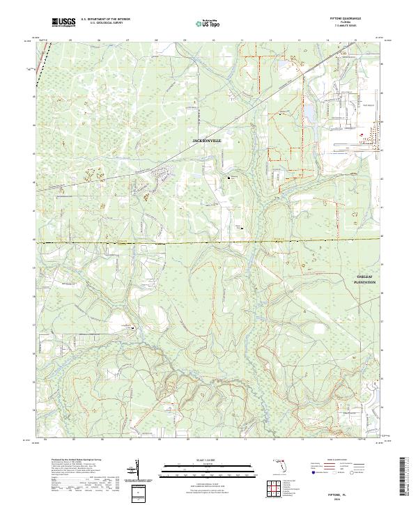
2024 Map of Fiftone
USGS Topo · Published 2024About this map
The Duval and Clay county line divides this landscape of sprawling conservation lands and suburban growth west of Jacksonville. The northern half of the region is defined by the heavy infrastructure around the former naval air station, with modern residential developments like Oakleaf Plantation emerging near the eastern edge. To the south, the terrain shifts into the protected wildlands of the Jennings State Forest, where a dense network of waterways including the North Fork Black Creek and Yellow Water Creek drain the low-lying basin.
Find a feature on this map
97 named features on this map. Tap any name to fly to it.
Don’t see what you’re looking for? This feature index may not catch every label — zoom into the map to look around manually.
Map Details
Editions of this 2024 Fiftone Map
This is the sole edition of this map. No revisions or reprints were ever made.
Other maps of this area

1917 · Cambon
USGS Topo · 1:62,500

1917 · Macclenny
USGS Topo · 1:62,500

1918 · Middleburg
USGS Topo · 1:62,500

1918 · Lawtey
USGS Topo · 1:62,500

1918 · Cambon
USGS Topo · 1:62,500

1918 · Macclenny
USGS Topo · 1:62,500

1941 · Middleburg
USGS Topo · 1:62,500

1948 · Jacksonville
USGS Topo · 1:250,000

1949 · Middleburg SW
USGS Topo · 1:24,000

1949 · Fiftone
USGS Topo · 1:24,000