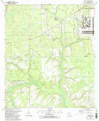
1993 Map of Fiftone
USGS Topo · Published 1993About this map
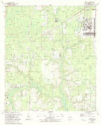
The Naval Air Station (Cecil Field) dominates the northeastern portion of this landscape, its structured runways and military infrastructure contrasting with the surrounding creek-cut terrain. South of the Duval Co Clay Co line, the map reveals a rural transition into the Fiftone and Clay Hill areas, where life centered around small family settlements and timber-related roads like Turpentine Road. The drainage patterns of the Yellow Water Creek and North Fork Black Creek basins shape the local geography, providing natural boundaries for timber tracts and small farms.
Find a feature on this map
41 named features on this map. Tap any name to fly to it.
Don’t see what you’re looking for? This feature index may not catch every label — zoom into the map to look around manually.
Map Details
Editions of this 1993 Fiftone Map
2 editions found
Other maps of this area

1917 · Cambon
USGS Topo · 1:62,500

1917 · Macclenny
USGS Topo · 1:62,500

1918 · Middleburg
USGS Topo · 1:62,500

1918 · Lawtey
USGS Topo · 1:62,500

1918 · Cambon
USGS Topo · 1:62,500

1918 · Macclenny
USGS Topo · 1:62,500

1941 · Middleburg
USGS Topo · 1:62,500

1948 · Jacksonville
USGS Topo · 1:250,000

1949 · Middleburg SW
USGS Topo · 1:24,000

1949 · Fiftone
USGS Topo · 1:24,000