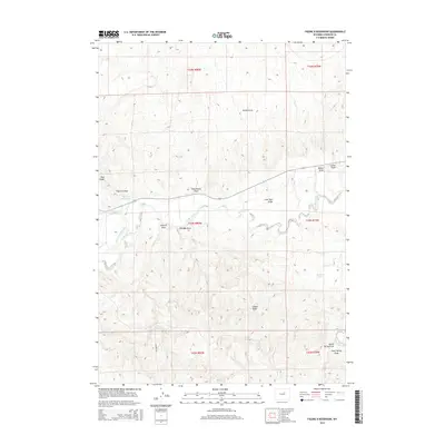
2015 Map of Figure 8 Reservoir
USGS Topo · Published 2015About this map
The Powder River meanders across this landscape of high plains and deep drainages in Johnson County. This 2015 survey reveals a terrain defined by its water management, centered on the namesake Figure 8 Reservoir and the nearby Harper Reservoir. These bodies of water, along with the Sussex Irrigation Canal, indicate a sophisticated system of ranching and agricultural infrastructure designed to harness the seasonal flows of the region.
Find a feature on this map
24 named features on this map. Tap any name to fly to it.
Don’t see what you’re looking for? This feature index may not catch every label — zoom into the map to look around manually.
Map Details
Editions of this 2015 Figure 8 Reservoir Map
This is the sole edition of this map. No revisions or reprints were ever made.
Other maps of this area

1955 · Arminto
USGS Topo · 1:250,000

1958 · Arminto
USGS Topo · 1:250,000

1961 · Soldier Creek
USGS Topo · 1:24,000

1961 · Kaycee NE
USGS Topo · 1:24,000

1961 · Fourmile Reservoir
USGS Topo · 1:24,000

1961 · Figure 8 Reservoir
USGS Topo · 1:24,000

1961 · Dry Creek Reservoir
USGS Topo · 1:24,000

1961 · Dugout Ranch
USGS Topo · 1:24,000

1961 · Dead Woman Crossing
USGS Topo · 1:24,000

1961 · Wall Creek
USGS Topo · 1:24,000