
1940 Map of Filley
USGS Topo · Published 1940About this map
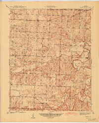
Filley and its surrounding rural townships in Cedar County are documented here just before the 1940s, revealing a landscape defined by small-scale farming and community hubs. The settlement patterns of Box and Washington townships are anchored by an extensive network of country schools and churches, such as Concord Ch and Hazel Dell Sch, which served as the social centers for remote farmsteads.
Find a feature on this map
35 named features on this map. Tap any name to fly to it.
Don’t see what you’re looking for? This feature index may not catch every label — zoom into the map to look around manually.
Map Details
Editions of this 1940 Filley Map
2 editions found
Other maps of this area

1886 · Nevada
USGS Topo · 1:125,000

1886 · Stockton
USGS Topo · 1:125,000

1894 · Nevada
USGS Topo · 1:125,000

1937 · Tiffin
USGS Topo · 1:31,680

1938 · Roscoe
USGS Topo · 1:24,000

1939 · Caplinger Mills
USGS Topo · 1:24,000

1939 · Eldorado Springs North
USGS Topo · 1:24,000

1939 · Filley
USGS Topo · 1:24,000

1939 · Eldorado Springs South
USGS Topo · 1:24,000

1940 · Roscoe
USGS Topo · 1:24,000