2023 Map of Fillmore
USGS Topo · Published 2023About this map
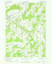
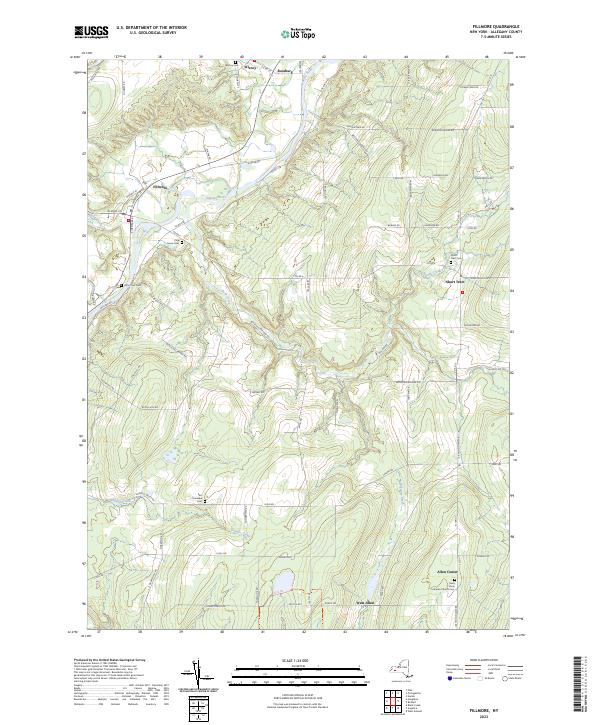
The Genesee River cuts a prominent valley through this portion of Allegany County, anchoring the village of Fillmore and the smaller settlements of Wiscoy and Rossburg. The landscape is defined by the winding course of the river and its many tributaries, such as Rush Creek and Shongo Creek, which drain the surrounding highlands. These uplands are home to several historic hamlets, including Short Tract and Allen Center, where local life is centered around community landmarks like the Saint Pauls Lutheran Church.
Find a feature on this map
79 named features on this map. Tap any name to fly to it.
Don’t see what you’re looking for? This feature index may not catch every label — zoom into the map to look around manually.
Map Details
Editions of this 2023 Fillmore Map
This is the sole edition of this map. No revisions or reprints were ever made.