Loading...
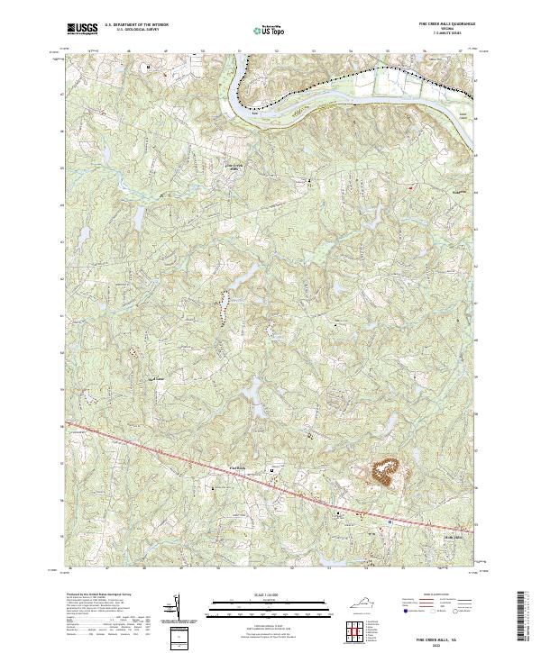
Loading map...2022 Map of Fine Creek Mills
USGS Topo · Published 2022About this map
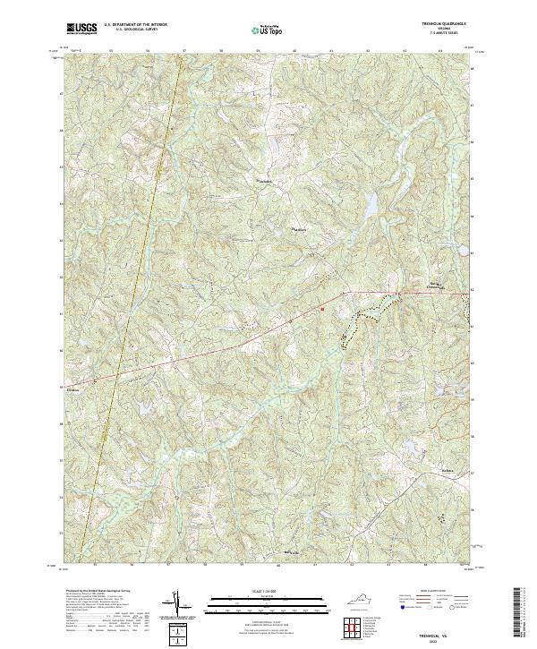
The James River serves as the northern border of this landscape, separating Goochland Co and Powhatan Co. The settlement patterns here reflect a long-standing agricultural and industrial heritage, anchored by locations like Fine Creek Mills and the Byers Millpond along Mill Cr. Several small rural communities such as Subletts, Red Lane, and Flat Rock are connected by a network of winding roads like Huguenot Trl and River Rd W.
Find a feature on this map
151 named features on this map. Tap any name to fly to it.
Don’t see what you’re looking for? This feature index may not catch every label — zoom into the map to look around manually.
Map Details
Date Portrayed2022
Date Published2022
PublisherU.S. Geological Survey
Map TypeTopographic
Scale1:24000
Physical Dimensions24 x 29 inches
Editions of this 2022 Fine Creek Mills Map
This is the sole edition of this map. No revisions or reprints were ever made.
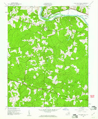
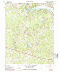
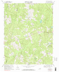
Historical Maps of Lee Through Time
7 maps found
Featured Locations
Source Details
SourceU.S. Geological Survey
CopyrightPublic Domain