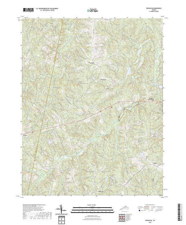
2022 Map of Trenholm
USGS Topo · Published 2022About this map
Trenholm and the surrounding rural communities of Powhatan County are defined by a network of creeks and small crossroads settlements. This landscape is shaped by the drainage of Muddy Cr and Horsepen Branch, with the terrain gently falling toward bodies of water like Lower Powhatan Lake and Bevins Pond. The area maintains a primarily agricultural and residential character, where historical routes like Old Tavern Rd and Trenholm Rd connect clusters of homes at Hatchers and Smiths Crossroads. The western edge of the map follows the boundary of Cumberland Co, illustrating how the political border aligns with the natural undulations of the Piedmont. Significant for local historians, the map documents the layout of small hamlets such as Belona and Ballsville in the south, providing a detailed look at the modern rural infrastructure alongside long-established water features like Deep Cr.
Find a feature on this map
60 named features on this map. Tap any name to fly to it.
Don’t see what you’re looking for? This feature index may not catch every label — zoom into the map to look around manually.
Map Details
Editions of this 2022 Trenholm Map
This is the sole edition of this map. No revisions or reprints were ever made.
Other maps of this area

1890 · Goochland
USGS Topo · 1:125,000

1891 · Palmyra
USGS Topo · 1:125,000

1891 · Farmville
USGS Topo · 1:125,000

1892 · Goochland
USGS Topo · 1:125,000

1893 · Farmville
USGS Topo · 1:125,000

1895 · Palmyra
USGS Topo · 1:125,000

1897 · Amelia
USGS Topo · 1:125,000

1897 · Palmyra
USGS Topo · 1:125,000

1943 · Goochland
USGS Topo · 1:31,680

1943 · Powhatan
USGS Topo · 1:31,680