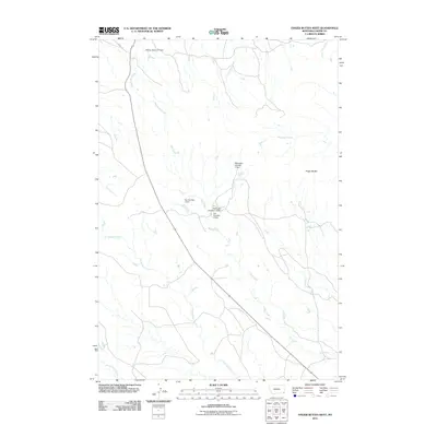
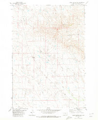
2011 Map of Finger Buttes West
USGS Topo · Published 2011About this map
Finger Buttes rises as a prominent landmark in this southeastern Montana landscape, overlooking a complex system of drainage and water management. The area is defined by its intermittent watercourses and small-scale ranching infrastructure, featuring numerous named water control structures such as the McKnight Number 1 Dam and Dye Number 1 Dam along Hay Creek. These small reservoirs suggest a landscape managed for livestock and seasonal water retention, characteristic of the high plains. Extensive creek systems including North Butte Creek, Hawksnest Creek, and Prairie Dog Creek lattice the terrain, while Tauck Rd provides the primary transit artery through the quadrangle. The map captures a moment in the early 21st century when this part of Carter County maintained its traditional rural character, centered around the natural landmarks and essential water sources like Sidney Reservoir Dam.
Find a feature on this map
15 named features on this map. Tap any name to fly to it.
Don’t see what you’re looking for? This feature index may not catch every label — zoom into the map to look around manually.
Map Details
Editions of this 2011 Finger Buttes West Map
This is the sole edition of this map. No revisions or reprints were ever made.
Other maps of this area

1954 · Ekalaka
USGS Topo · 1:250,000

1956 · Ekalaka
USGS Topo · 1:250,000

1958 · Ekalaka
USGS Topo · 1:250,000

1965 · Ekalaka
USGS Topo · 1:250,000

1980 · Prairie Dog Creek
USGS Topo · 1:24,000
1980 · Alzada NW
USGS Topo · 1:24,000

1980 · Finger Buttes East
USGS Topo · 1:24,000
1980 · Albion
USGS Topo · 1:24,000
1980 · Lone Tree Creek
USGS Topo · 1:24,000
1980 · Finger Buttes West
USGS Topo · 1:24,000