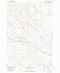
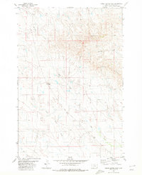
1980 Map of Alzada NW
USGS Topo · Published 1980About this map
Little Missouri River drainage defines this corner of Carter County, where a complex network of seasonal waterways carves through the high plains of southeastern Montana. The landscape is characterized by its hydrological pattern, with parallel drainage systems like South Cottonwood Creek and North Cottonwood Creek flowing toward the main river valley. This 1980 edition, based on earlier field checks, captures the rural topography before modern development altered these remote drainages. Smaller tributaries such as Short Creek and Hamilton Creek illustrate the natural erosion patterns typical of this region. The absence of major settlements highlights the land's primary use for cattle ranching and open-range agriculture, with the network of South Butte Creek and North Butte Creek providing essential water resources in a semi-arid environment.
Find a feature on this map
7 named features on this map. Tap any name to fly to it.
Don’t see what you’re looking for? This feature index may not catch every label — zoom into the map to look around manually.
Map Details
Editions of this 1980 Alzada NW Map
This is the sole edition of this map. No revisions or reprints were ever made.
Other maps of this area

1954 · Ekalaka
USGS Topo · 1:250,000

1956 · Ekalaka
USGS Topo · 1:250,000

1958 · Ekalaka
USGS Topo · 1:250,000

1965 · Ekalaka
USGS Topo · 1:250,000

1980 · Finger Buttes East
USGS Topo · 1:24,000
1980 · Sevenmile Creek
USGS Topo · 1:24,000
1980 · Albion
USGS Topo · 1:24,000
1980 · Alzada
USGS Topo · 1:24,000
1980 · Finger Buttes West
USGS Topo · 1:24,000

1981 · Alzada
USGS Topo · 1:100,000