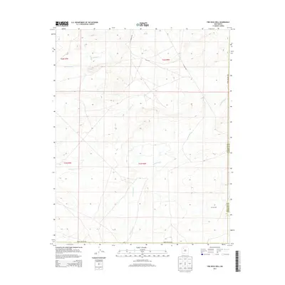
2013 Map of Fire Rock Well
USGS Topo · Published 2013About this map
Fire Rock Well marks a remote point of interest in this high desert landscape along the border of San Juan Co and Sandoval Co. The terrain is defined by a series of significant drainage systems, most notably Escavada Wash and Gallo Wash, which cut through the arid plateaus of the Eastern Navajo Agency. This 2013 survey illustrates the sparse but essential infrastructure of the region, where gravel routes like Co Road 7970 and Co Road 7980 provide the primary access through the township and range divisions. The geographic character is further shaped by the winding course of Cañada Alemita, showcasing the complex erosion patterns and hydrologic features that define this corner of New Mexico.
Find a feature on this map
13 named features on this map. Tap any name to fly to it.
Don’t see what you’re looking for? This feature index may not catch every label — zoom into the map to look around manually.
Map Details
Editions of this 2013 Fire Rock Well Map
This is the sole edition of this map. No revisions or reprints were ever made.
Other maps of this area

1883 · Mt. Taylor
USGS Topo · 1:250,000

1886 · Mt. Taylor
USGS Topo · 1:250,000

1889 · Largo
USGS Topo · 1:250,000

1892 · Mt. Taylor
USGS Topo · 1:250,000

1895 · Largo
USGS Topo · 1:250,000

1899 · Mt. Taylor
USGS Topo · 1:250,000

1954 · Aztec
USGS Topo · 1:250,000

1958 · Aztec
USGS Topo · 1:250,000

1958 · Albuquerque
USGS Topo · 1:250,000

1960 · Pueblo Alto Trading Post
USGS Topo · 1:24,000