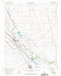
1962 Map of Firebaugh
USGS Topo · Published 1964About this map
The San Joaquin River defines the landscape of this Central Valley region, where an intricate network of irrigation infrastructure supports an intensive agricultural economy. The Mendota Pool and Mendota Dam serve as critical nodes for water management, feeding the Main Canal, Outside Canal, and the Chowchilla Canal. Settlements like Firebaugh and Mendota are connected by the Southern Pacific railroad, which historically facilitated the movement of crops and livestock from the surrounding plains.
Find a feature on this map
111 named features on this map. Tap any name to fly to it.
Don’t see what you’re looking for? This feature index may not catch every label — zoom into the map to look around manually.
Map Details
Editions of this 1962 Firebaugh Map
This is the sole edition of this map. No revisions or reprints were ever made.
Other maps of this area

1913 · Panoche
USGS Topo · 1:125,000

1916 · Berenda
USGS Topo · 1:31,680

1916 · Santa Rita Bridge
USGS Topo · 1:24,000

1918 · Bliss Ranch
USGS Topo · 1:31,680

1918 · Chowchilla
USGS Topo · 1:31,680

1918 · Berenda
USGS Topo · 1:31,680

1920 · Santa Rita Bridge
USGS Topo · 1:31,680

1920 · Bonita Ranch
USGS Topo · 1:31,680

1921 · Mendota
USGS Topo · 1:31,680

1921 · Bonita Ranch
USGS Topo · 1:31,680