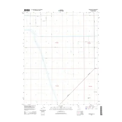
2015 Map of Firebaugh NE
USGS Topo · Published 2015About this map
The Fresno River and Chowchilla Canal define the irrigation-led geography of this Madera County landscape, where the agricultural grid of the San Joaquin Valley meets a network of named local roads. The map illustrates a highly organized rural infrastructure, with routes like Fig Rd, Sycamore Rd, and Guava Rd cutting through the Central Valley floor. In the northern reaches, the seasonal path of Berenda Slough and the intermittent Dry Cr contrast with the engineered precision of the canal system. This 2015 survey provides a clear view of the modern land divisions and water management patterns that sustain this intensive farming region near the diagonal transit of Firebaugh Blvd.
Find a feature on this map
29 named features on this map. Tap any name to fly to it.
Don’t see what you’re looking for? This feature index may not catch every label — zoom into the map to look around manually.
Map Details
Editions of this 2015 Firebaugh NE Map
This is the sole edition of this map. No revisions or reprints were ever made.
Other maps of this area

1916 · Berenda
USGS Topo · 1:31,680

1918 · Bliss Ranch
USGS Topo · 1:31,680

1918 · Chowchilla
USGS Topo · 1:31,680

1918 · Berenda
USGS Topo · 1:31,680

1920 · Bonita Ranch
USGS Topo · 1:31,680

1921 · Mendota
USGS Topo · 1:31,680

1921 · Bonita Ranch
USGS Topo · 1:31,680

1922 · Pozo Farm
USGS Topo · 1:31,680

1922 · Kentucky Well
USGS Topo · 1:31,680

1923 · Firebaugh
USGS Topo · 1:31,680