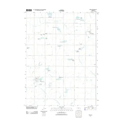
2011 Map of Firth
USGS Topo · Published 2011About this map
Firth serves as a primary hub for this Lancaster County landscape, defined by its agricultural grid and an extensive network of water management projects. In the early 21st century, the area is marked by numerous reservoirs and dams along the Hickman Branch and the North Fork Big Nemaha River, including Wagon Train Lake and the Hedgefield Reservoir. These features, alongside smaller works like Van Pelt Reservoir, illustrate the modern hydraulic engineering required to manage the plains watershed.
Find a feature on this map
59 named features on this map. Tap any name to fly to it.
Don’t see what you’re looking for? This feature index may not catch every label — zoom into the map to look around manually.
Map Details
Editions of this 2011 Firth Map
This is the sole edition of this map. No revisions or reprints were ever made.
Other maps of this area

1897 · Lincoln
USGS Topo · 1:125,000

1903 · Weeping Water
USGS Topo · 1:125,000

1929 · Weeping Water
USGS Topo · 1:125,000

1955 · Lincoln
USGS Topo · 1:250,000

1957 · Lincoln
USGS Topo · 1:250,000

1958 · Lincoln
USGS Topo · 1:250,000

1964 · Cortland
USGS Topo · 1:24,000

1964 · Pickrell
USGS Topo · 1:24,000

1964 · Roca
USGS Topo · 1:24,000

1965 · Adams
USGS Topo · 1:24,000