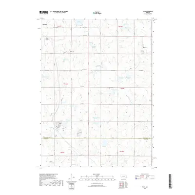
2017 Map of Firth
USGS Topo · Published 2017About this map
Hickman and Firth anchor this section of the Nebraska prairie, situated just south of the state capital's metropolitan influence. The landscape is defined by a sophisticated system of water management, evidenced by numerous flood control structures such as Wagon Train Lake, Hedgefield Reservoir, and several reservoirs along the N Fork Big Nemaha River. These artificial lakes sit alongside traditional agriculture, where a rigid grid of section-line roads like Stagecoach Rd and Pella Rd connects small rural communities and family burial grounds. Local history is preserved at sites like the Holland Cem and Pella Cem, while the uniquely named Rusty Crankshaft Airport provides a distinct landmark for the regional aviation community. The border between Lancaster Co and Gage Co runs across the southern portion of the map, separating the town of Firth from the rural lands near E Apple Rd.
Find a feature on this map
51 named features on this map. Tap any name to fly to it.
Don’t see what you’re looking for? This feature index may not catch every label — zoom into the map to look around manually.
Map Details
Editions of this 2017 Firth Map
This is the sole edition of this map. No revisions or reprints were ever made.
Other maps of this area

1897 · Lincoln
USGS Topo · 1:125,000

1903 · Weeping Water
USGS Topo · 1:125,000

1929 · Weeping Water
USGS Topo · 1:125,000

1955 · Lincoln
USGS Topo · 1:250,000

1957 · Lincoln
USGS Topo · 1:250,000

1958 · Lincoln
USGS Topo · 1:250,000

1964 · Cortland
USGS Topo · 1:24,000

1964 · Pickrell
USGS Topo · 1:24,000

1964 · Roca
USGS Topo · 1:24,000

1965 · Adams
USGS Topo · 1:24,000