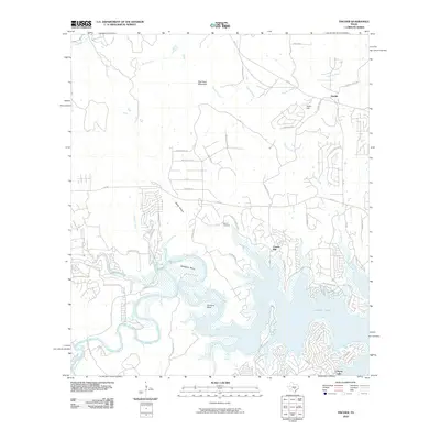
2010 Map of Fischer
USGS Topo · Published 2010About this map
The Guadalupe River carves a dramatic path through Comal County on this map, defining the landscape around Canyon Lake. Large meanders such as Demijohn Bend and Cordova Bend showcase the river's winding course before it feeds into the major reservoir. Nearby, the community of Cranes Mill sits at the water's edge, while Fischer remains established in the northern hills. The terrain is marked by significant elevations like Big Head Mountain and Kuhn Hill, intersected by numerous drainages including Potter Creek and Rebecca Creek. Local history is preserved at the Bremer Cemetery and evidenced by old transit routes such as Fischer Store Rd and Cranes Mill Rd. The map reveals a transition from traditional rural homesteads to residential development, with contemporary street names like Mexican Hat Dr and Red Rose St appearing alongside established landmarks like Rust Falls.
Find a feature on this map
61 named features on this map. Tap any name to fly to it.
Don’t see what you’re looking for? This feature index may not catch every label — zoom into the map to look around manually.
Map Details
Editions of this 2010 Fischer Map
This is the sole edition of this map. No revisions or reprints were ever made.
Other maps of this area

1887 · Blanco
USGS Topo · 1:125,000

1894 · Blanco
USGS Topo · 1:125,000

1920 · Smithsons Valley
USGS Topo · 1:62,500

1925 · Hunter No 3
USGS Topo · 1:48,000

1925 · Smithson Valley No. 1
USGS Topo · 1:48,000

1927 · Smithson Valley
USGS Topo · 1:62,500

1929 · Hunter
USGS Topo · 1:62,500

1929 · Smithson Valley
USGS Topo · 1:62,500

1940 · Smithson Valley
USGS Topo · 1:62,500

1954 · Llano
USGS Topo · 1:250,000