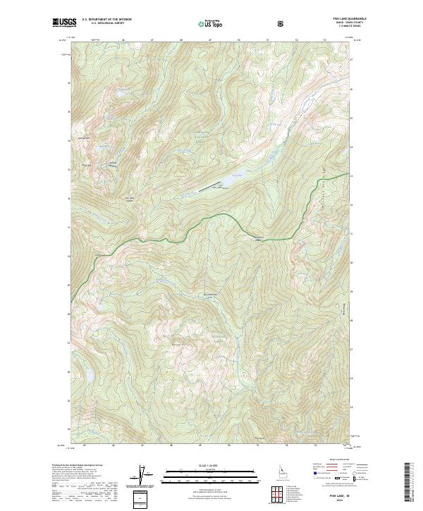
2024 Map of Fish Lake
USGS Topo · Published 2024About this map
The Selway-Bitterroot Wilderness dominates this portion of the Idaho backcountry, where the borders of the Clearwater National Forest and Nez Perce National Forest meet. This 2024 survey captures a landscape defined by its alpine basins and high-elevation ridges, centered on the strategic Fish Lake/USFS Airport near the shores of Fish Lake. The presence of a remote airstrip alongside the Fish Lake Creek drainage highlights the logistical challenges of managing this interior forest land.
Find a feature on this map
33 named features on this map. Tap any name to fly to it.
Don’t see what you’re looking for? This feature index may not catch every label — zoom into the map to look around manually.
Map Details
Editions of this 2024 Fish Lake Map
This is the sole edition of this map. No revisions or reprints were ever made.
Other maps of this area

1911 · Lolo
USGS Topo · 1:250,000

1913 · Lolo
USGS Topo · 1:250,000

1956 · Hamilton
USGS Topo · 1:250,000

1959 · Hamilton
USGS Topo · 1:250,000

1960 · Hamilton
USGS Topo · 1:250,000

1964 · Hamilton
USGS Topo · 1:250,000

1966 · Mc Connell Mtn
USGS Topo · 1:24,000
1966 · Big Rock Mtn
USGS Topo · 1:24,000
1966 · Shissler Peak
USGS Topo · 1:24,000
1966 · Fenn Mountain
USGS Topo · 1:24,000