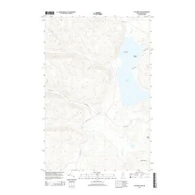
2014 Map of Fish River Lake
USGS Topo · Published 2014About this map
Fish River Lake dominates the eastern half of this wilderness terrain, characterized by a complex network of waterways and prominent high ground. The lake itself is punctuated by Zella Island and Blueberry Island, while the surrounding landscape is defined by the elevation of North Ridge and Sheldon Ridge. The hydrological pattern reveals a territory of converging streams, notably where the N Br Fox Brook and S Br Fox Brook meet before joining the main Fox Brook.
Find a feature on this map
19 named features on this map. Tap any name to fly to it.
Don’t see what you’re looking for? This feature index may not catch every label — zoom into the map to look around manually.
Map Details
Editions of this 2014 Fish River Lake Map
This is the sole edition of this map. No revisions or reprints were ever made.
Other maps of this area

1928 · Winterville
USGS Topo · 1:48,000

1930 · Greenlaw
USGS Topo · 1:48,000

1931 · Fish River Lake
USGS Topo · 1:48,000

1931 · Mooseleuk Lake
USGS Topo · 1:48,000

1931 · Winterville
USGS Topo · 1:62,500

1933 · Greenlaw
USGS Topo · 1:62,500

1935 · Fish River Lake
USGS Topo · 1:62,500

1935 · Mooseleuk Lake
USGS Topo · 1:62,500

1954 · Presque Isle
USGS Topo · 1:250,000

1958 · Presque Isle
USGS Topo · 1:250,000