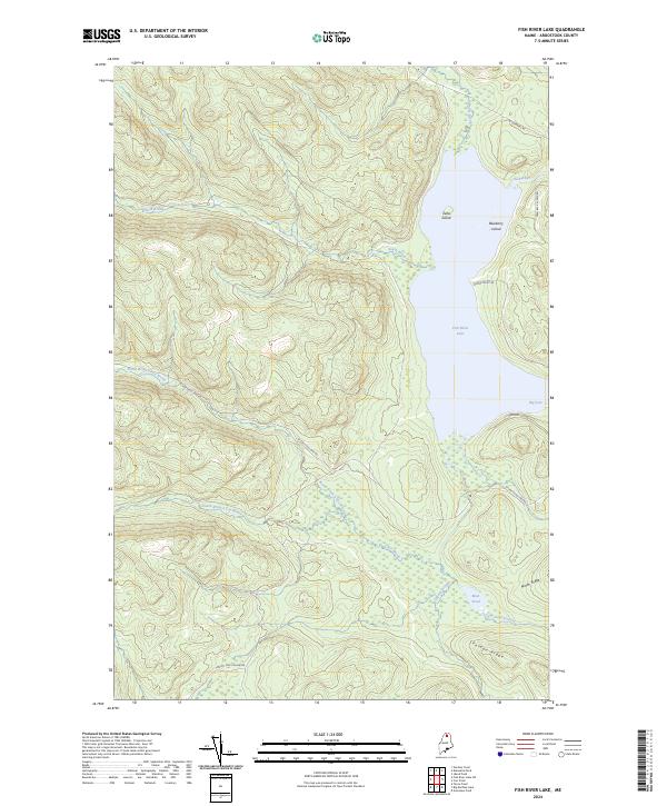
2024 Map of Fish River Lake
USGS Topo · Published 2024About this map
Fish River Lake sits at the heart of this North Woods landscape, marked by a complex system of island-dotted waters and ridges. Zella Island and Blueberry Island rise from the lake’s northern waters, while the shoreline is carved by Big Cove. This 2024 survey documents the hydraulic network of the Fish River watershed, including the convergence of North Branch Fox Brook and South Branch Fox Brook into Fox Brook.
Find a feature on this map
21 named features on this map. Tap any name to fly to it.
Don’t see what you’re looking for? This feature index may not catch every label — zoom into the map to look around manually.
Map Details
Editions of this 2024 Fish River Lake Map
This is the sole edition of this map. No revisions or reprints were ever made.
Other maps of this area

1928 · Winterville
USGS Topo · 1:48,000

1930 · Greenlaw
USGS Topo · 1:48,000

1931 · Fish River Lake
USGS Topo · 1:48,000

1931 · Mooseleuk Lake
USGS Topo · 1:48,000

1931 · Winterville
USGS Topo · 1:62,500

1933 · Greenlaw
USGS Topo · 1:62,500

1935 · Fish River Lake
USGS Topo · 1:62,500

1935 · Mooseleuk Lake
USGS Topo · 1:62,500

1954 · Presque Isle
USGS Topo · 1:250,000

1958 · Presque Isle
USGS Topo · 1:250,000