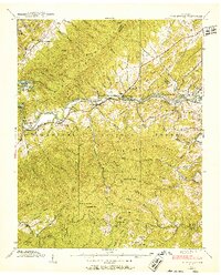
1938 Map of Fish Springs
USGS Topo · Published 1952About this map
Watauga River currents dominate this 1938 landscape as it flows between Iron Mountain and Pond Mountain within the Cherokee National Forest. The geography is defined by the Southern Railway corridor, which links the settlements of Fish Springs, Butler, and Whiting. This era shows the valley before significant modernization, where life centered on small communities like Piercetown and family-named land features like Cardens Bluff and Gouge.
Find a feature on this map
100 named features on this map. Tap any name to fly to it.
Don’t see what you’re looking for? This feature index may not catch every label — zoom into the map to look around manually.
Map Details
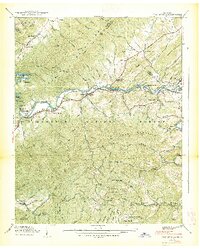
Editions of this 1938 Fish Springs Map
2 editions found
Other maps of this area

1891 · Roan Mountain
USGS Topo · 1:125,000

1893 · Cranberry
USGS Topo · 1:125,000

1894 · Roan Mountain
USGS Topo · 1:125,000

1895 · Cranberry
USGS Topo · 1:125,000

1899 · Cranberry
USGS Topo · 1:125,000

1902 · Cranberry
USGS Topo · 1:125,000

1904 · Roan Mountain
USGS Topo · 1:125,000

1934 · White Rocks Mtn
USGS Topo · 1:24,000

1934 · Iron Mtn Gap
USGS Topo · 1:24,000

1934 · Elk Park
USGS Topo · 1:24,000