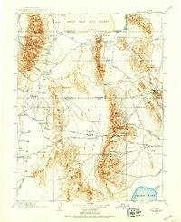
1908 Map of Fish Springs
USGS Topo · Published 1908About this map
The Great Salt Lake Desert dominates the northern horizon of this 1908 study, marking a stark transition into the basin and range country of western Utah. Settlement is defined by isolated outposts and family operations like Thomas' Ranch and Bishop's Ranch, connected by trails leading to distant destinations like Pleasant Valley and Deseret. Mining activity is concentrated in the high elevations, notably at the Utah Mine in the Fish Springs Range and the Queen of Sheba Mine within the Deep Creek Range.
Find a feature on this map
116 named features on this map. Tap any name to fly to it.
Don’t see what you’re looking for? This feature index may not catch every label — zoom into the map to look around manually.
Map Details
Editions of this 1908 Fish Springs Map
This is the sole edition of this map. No revisions or reprints were ever made.
Other maps of this area
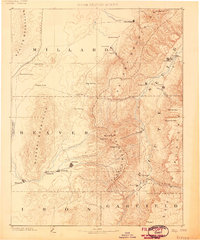
1885 · Beaver
USGS Topo · 1:250,000
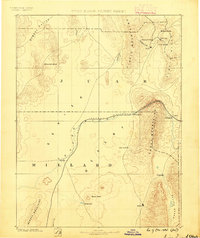
1885 · Sevier Desert
USGS Topo · 1:250,000
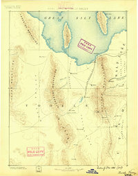
1885 · Tooele Valley
USGS Topo · 1:250,000
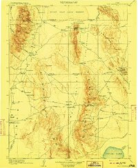
1910 · Fish Springs
USGS Topo · 1:250,000
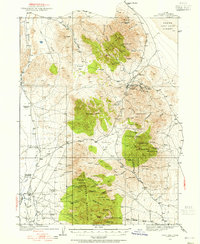
1925 · Gold Hill
USGS Topo · 1:62,500
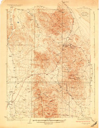
1928 · Gold Hill
USGS Topo · 1:62,500
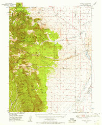
1949 · Garrison
USGS Topo · 1:62,500
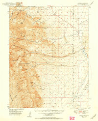
1951 · Garrison
USGS Topo · 1:62,500
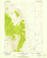
1953 · Dugway Range NE
USGS Topo · 1:24,000
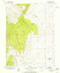
1953 · Dugway Pass
USGS Topo · 1:24,000