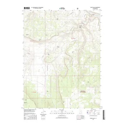
2017 Map of Fisher Valley
USGS Topo · Published 2017About this map
Fisher Valley and its surrounding high-altitude plateaus dominate this corner of Grand County, where the desert landscape is defined by massive formations and deeply cut drainages. The Manti-La Sal National Forest occupies the southern portion of the sheet, covering expansive flats like N Beaver Mesa and Polar Mesa. This modern survey details the intricate network of primitive tracks used to navigate the elevation changes, including Onion Creek Rd and the Rose Garden Hill Trl.
Find a feature on this map
38 named features on this map. Tap any name to fly to it.
Don’t see what you’re looking for? This feature index may not catch every label — zoom into the map to look around manually.
Map Details
Editions of this 2017 Fisher Valley Map
This is the sole edition of this map. No revisions or reprints were ever made.
Other maps of this area

1885 · La Sal
USGS Topo · 1:250,000

1954 · Mt. Waas 4 SE
USGS Topo · 1:24,000

1954 · Mt. Waas 4 SW
USGS Topo · 1:24,000

1954 · Mt. Waas 4 NE
USGS Topo · 1:24,000

1954 · Mt. Waas 4 NW
USGS Topo · 1:24,000

1954 · Mt. Waas 3 NE
USGS Topo · 1:24,000

1954 · Mt. Waas 3 SE
USGS Topo · 1:24,000

1954 · Mt. Waas 1 SW
USGS Topo · 1:24,000

1954 · Mt. Waas 1 SE
USGS Topo · 1:24,000

1954 · Coates Creek
USGS Topo · 1:62,500