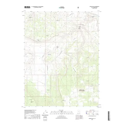
2020 Map of Fisher Valley
USGS Topo · Published 2020About this map
Fisher Valley occupies the center of this canyonlands landscape in Grand County, where high plateaus and deep drainage systems define the geography. The terrain is dominated by massive elevated features including Sevenmile Mesa, Fisher Mesa, and Polar Mesa, which rise above a network of erosion-carved corridors like Cottonwood Canyon and Bridge Canyon. The northern edge of the map captures a segment of the Dolores River, a vital watercourse in this arid region.
Find a feature on this map
24 named features on this map. Tap any name to fly to it.
Don’t see what you’re looking for? This feature index may not catch every label — zoom into the map to look around manually.
Map Details
Editions of this 2020 Fisher Valley Map
This is the sole edition of this map. No revisions or reprints were ever made.
Other maps of this area

1885 · La Sal
USGS Topo · 1:250,000

1954 · Mt. Waas 4 SE
USGS Topo · 1:24,000

1954 · Mt. Waas 4 SW
USGS Topo · 1:24,000

1954 · Mt. Waas 4 NE
USGS Topo · 1:24,000

1954 · Mt. Waas 4 NW
USGS Topo · 1:24,000

1954 · Mt. Waas 3 NE
USGS Topo · 1:24,000

1954 · Mt. Waas 3 SE
USGS Topo · 1:24,000

1954 · Mt. Waas 1 SW
USGS Topo · 1:24,000

1954 · Mt. Waas 1 SE
USGS Topo · 1:24,000

1954 · Coates Creek
USGS Topo · 1:62,500