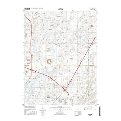
2016 Map of Fishers
USGS Topo · Published 2016About this map
The White River winds through this 2016 landscape, serving as a geographic anchor for the suburban development bridging Hamilton and Marion Counties. This survey illustrates the dense residential growth patterns between Carmel, Fishers, and Lawrence, while still preserving numerous small, family-named burial grounds that hint at the area's agricultural past. Features like Heady Cem, Whitsell Cem, and Farley Cem remain as quiet pockets amidst contemporary subdivisions and shopping centers.
Find a feature on this map
97 named features on this map. Tap any name to fly to it.
Don’t see what you’re looking for? This feature index may not catch every label — zoom into the map to look around manually.
Map Details
Editions of this 2016 Fishers Map
This is the sole edition of this map. No revisions or reprints were ever made.
Other maps of this area

1948 · Indianapolis East
USGS Topo · 1:24,000

1948 · Indianapolis West
USGS Topo · 1:24,000

1952 · Cumberland
USGS Topo · 1:24,000

1952 · Fishers
USGS Topo · 1:24,000

1952 · Carmel
USGS Topo · 1:24,000

1952 · Mc Cordsville
USGS Topo · 1:24,000

1953 · Westfield
USGS Topo · 1:24,000

1953 · Riverwood
USGS Topo · 1:24,000

1953 · Noblesville
USGS Topo · 1:24,000

1953 · Cincinnati
USGS Topo · 1:250,000