Loading...
Loading map...2023 Map of Fishers
USGS Topo · Published 2023About this map
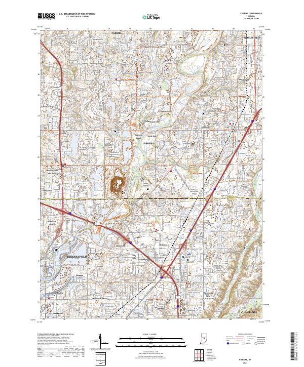
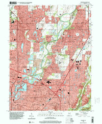
The White River corridor between Carmel and Noblesville reveals a landscape defined by rapid suburban expansion and significant transportation hubs. This modern mapping shows the dense residential fabric of Fishers and northern Indianapolis, including established neighborhoods like Allisonville and Castleton. The area's development is anchored by major infrastructure such as the Indianapolis Metropolitan Airport and the crossroads of Interstate 69 and Interstate 465.
Find a feature on this map
77 named features on this map. Tap any name to fly to it.
Don’t see what you’re looking for? This feature index may not catch every label — zoom into the map to look around manually.
Map Details
Date Portrayed2023
Date Published2023
PublisherU.S. Geological Survey
Map TypeTopographic
Scale1:24000
Physical Dimensions24 x 29 inches
Editions of this 2023 Fishers Map
This is the sole edition of this map. No revisions or reprints were ever made.
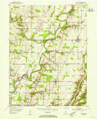
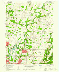
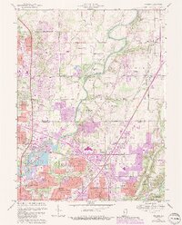
Historical Maps of Glendale Heights Through Time
5 maps found
Featured Locations
Source Details
SourceU.S. Geological Survey
CopyrightPublic Domain