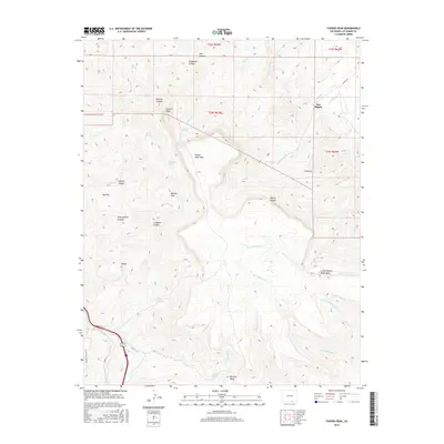
2016 Map of Fishers Peak
USGS Topo · Published 2016About this map
Fishers Peak dominates this high-altitude landscape of southern Colorado, towering over a complex network of mesa tops and deeply cut canyons. The settlement of San Miguel sits at the head of San Miguel Creek, where the terrain begins its steep ascent toward Fishers Peak Mesa. This 2016 survey illustrates the importance of water sources in this arid region, marking numerous natural springs such as Second Spring, Bell Spring, and Cassidays Spring.
Find a feature on this map
42 named features on this map. Tap any name to fly to it.
Don’t see what you’re looking for? This feature index may not catch every label — zoom into the map to look around manually.
Map Details
Editions of this 2016 Fishers Peak Map
This is the sole edition of this map. No revisions or reprints were ever made.
Other maps of this area

1891 · Spanish Peaks
USGS Topo · 1:125,000

1892 · Elmoro
USGS Topo · 1:125,000

1893 · Spanish Peaks
USGS Topo · 1:125,000

1893 · Elmoro
USGS Topo · 1:125,000

1895 · Spanish Peaks
USGS Topo · 1:125,000

1897 · Elmoro
USGS Topo · 1:125,000

1897 · Spanish Peaks
USGS Topo · 1:125,000

1900 · Spanish Peaks
USGS Topo · 1:125,000

1912 · Raton
USGS Topo · 1:62,500

1914 · Raton
USGS Topo · 1:62,500