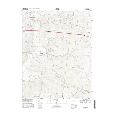
2016 Map of Fisherville
USGS Topo · Published 2016About this map
Floyds Fork and its numerous tributaries, including Brush Run and Cane Run, dominate this section of the Kentucky landscape as it appeared in the mid-2010s. The area marks the convergence of Jefferson, Shelby, and Spencer counties, where rural residential growth follows the paths of historic thoroughfares like Shelbyville Rd and Old Taylorsville Rd.
Find a feature on this map
124 named features on this map. Tap any name to fly to it.
Don’t see what you’re looking for? This feature index may not catch every label — zoom into the map to look around manually.
Map Details
Editions of this 2016 Fisherville Map
This is the sole edition of this map. No revisions or reprints were ever made.
Other maps of this area
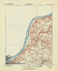
1905 · Prospect
USGS Topo · 1:62,500
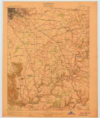
1907 · Louisville
USGS Topo · 1:62,500
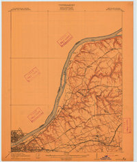
1912 · Prospect
USGS Topo · 1:62,500
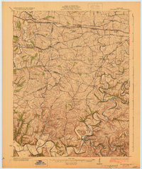
1929 · Taylorsville
USGS Topo · 1:62,500
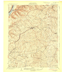
1932 · La Grange
USGS Topo · 1:62,500
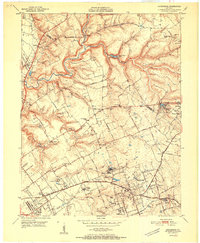
1951 · Anchorage
USGS Topo · 1:24,000
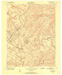
1951 · Crestwood
USGS Topo · 1:24,000
1951 · Jeffersontown
USGS Topo · 1:24,000
1951 · Fisherville
USGS Topo · 1:24,000
1951 · Waterford
USGS Topo · 1:24,000