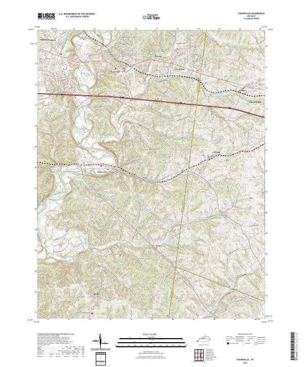
2022 Map of Fisherville
USGS Topo · Published 2022About this map
Fisherville and the surrounding rural-suburban landscape of eastern Jefferson County are defined by the winding course of Floyds Fork. This modern survey illustrates the complex drainage network of the Salt River basin, where Shakes Run, Pope Lick, and Cane Run carve through the limestone terrain. The map traces the historic transportation corridors of Shelbyville Rd and Taylorsville Rd, which have shaped settlement patterns from the established commercial hub of Middletown to smaller residential clusters like Eastwood and Boston. The boundary lines of Jefferson, Shelby, and Spencer counties meet here, reflecting the jurisdictional history of this transitional region. Notable landmarks such as Lincoln Ridge and Long Run Hill dominate the topography, while newer recreational developments like the Floyd's Fork - North Beckley to Cane Run Access Trl signal the area's contemporary shift toward land conservation and parkland.
Find a feature on this map
32 named features on this map. Tap any name to fly to it.
Don’t see what you’re looking for? This feature index may not catch every label — zoom into the map to look around manually.
Map Details
Editions of this 2022 Fisherville Map
This is the sole edition of this map. No revisions or reprints were ever made.
Other maps of this area

1905 · Prospect
USGS Topo · 1:62,500

1907 · Louisville
USGS Topo · 1:62,500

1912 · Prospect
USGS Topo · 1:62,500

1929 · Taylorsville
USGS Topo · 1:62,500

1932 · La Grange
USGS Topo · 1:62,500

1951 · Anchorage
USGS Topo · 1:24,000

1951 · Crestwood
USGS Topo · 1:24,000

1951 · Jeffersontown
USGS Topo · 1:24,000

1951 · Fisherville
USGS Topo · 1:24,000

1951 · Waterford
USGS Topo · 1:24,000