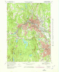
1969 Map of Fitchburg
USGS Topo · Published 1979About this map
Fitchburg and Leominster dominate this Worcester County landscape, illustrating a dense mid-century industrial and educational corridor. The map highlights the significant infrastructure supporting these cities, from the sprawling campus of Fitchburg State College to the complex water management system featuring Notown Reservoir, Lovell Reservoir, and numerous smaller basins like Saima Pond. The terrain is defined by prominent peaks such as Rollstone Hill and North Monoosnoc Hill, which hem in the urban expansion.
Find a feature on this map
116 named features on this map. Tap any name to fly to it.
Don’t see what you’re looking for? This feature index may not catch every label — zoom into the map to look around manually.
Map Details
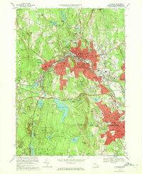
Editions of this 1969 Fitchburg Map
2 editions found
Other maps of this area

1885 · Worcester
USGS Topo · 1:62,500

1886 · Worcester
USGS Topo · 1:62,500

1887 · Marlboro
USGS Topo · 1:62,500

1887 · Fitchburg
USGS Topo · 1:62,500

1889 · Marlboro
USGS Topo · 1:62,500

1889 · Fitchburg
USGS Topo · 1:62,500

1892 · Worcester
USGS Topo · 1:62,500

1893 · Fitchburg
USGS Topo · 1:62,500

1893 · Groton
USGS Topo · 1:62,500

1896 · Marlboro
USGS Topo · 1:62,500