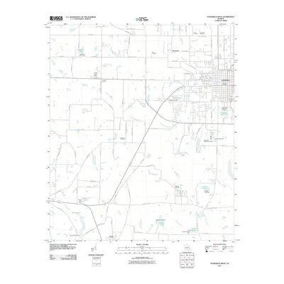
2011 Map of Fitzgerald West
USGS Topo · Published 2011About this map
The growing city of Fitzgerald occupies the eastern edge of this Georgia landscape, with the Fitzgerald Post Office and Fitzgerald Municipal Airport serving as focal points for the regional hub. Outside the city grid, the land is defined by a dense network of tributaries including Willacoochee Creek, Courthouse Branch, and Reedy Creek. These watercourses are frequently interrupted by man-made impoundments like Simms Lake and Hogan Lake, signaling a landscape managed for local water resources and agriculture.
Find a feature on this map
93 named features on this map. Tap any name to fly to it.
Don’t see what you’re looking for? This feature index may not catch every label — zoom into the map to look around manually.
Map Details
Editions of this 2011 Fitzgerald West Map
This is the sole edition of this map. No revisions or reprints were ever made.
Other maps of this area

1953 · Waycross
USGS Topo · 1:250,000

1958 · Waycross
USGS Topo · 1:250,000

1972 · Fitzgerald East
USGS Topo · 1:24,000

1972 · Ocilla East
USGS Topo · 1:24,000

1972 · Queensland
USGS Topo · 1:24,000

1973 · Ocilla West
USGS Topo · 1:24,000

1973 · Waterloo
USGS Topo · 1:24,000

1973 · Irwinville
USGS Topo · 1:24,000

1973 · Fitzgerald West
USGS Topo · 1:24,000

1974 · Rebecca
USGS Topo · 1:24,000