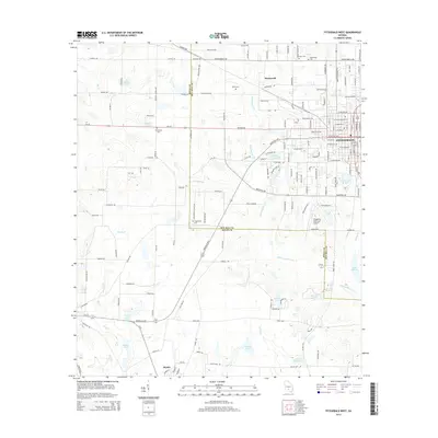
2014 Map of Fitzgerald West
USGS Topo · Published 2014About this map
The boundary between Irwin and Ben Hill counties divides this landscape, where the agricultural plains of southern Georgia meet the western fringes of the city of Fitzgerald. The settlement of Mystic stands in the southwestern quadrant, serving as a hub for the surrounding rural road network that includes the Irwinville Hwy and Ga-32. The area is characterized by an extensive system of blackwater drainage, with Willacoochee Creek and its many tributaries, such as Courthouse Br and Stump Cr, winding through the terrain. Numerous small lakes and ponds, including Walker Lake and Stewart Lake, are scattered across the landscape, often associated with family names or local landmarks. Genealogists will find several burial sites noted, such as Friendship Cem and Arbor Cem, reflecting the area's long-established rural communities. The map also captures the Fitzgerald Municipal Airport, marking the intersection of traditional land use and modern infrastructure.
Find a feature on this map
160 named features on this map. Tap any name to fly to it.
Don’t see what you’re looking for? This feature index may not catch every label — zoom into the map to look around manually.
Map Details
Editions of this 2014 Fitzgerald West Map
This is the sole edition of this map. No revisions or reprints were ever made.
Other maps of this area

1953 · Waycross
USGS Topo · 1:250,000

1958 · Waycross
USGS Topo · 1:250,000

1972 · Fitzgerald East
USGS Topo · 1:24,000

1972 · Ocilla East
USGS Topo · 1:24,000

1972 · Queensland
USGS Topo · 1:24,000

1973 · Ocilla West
USGS Topo · 1:24,000

1973 · Waterloo
USGS Topo · 1:24,000

1973 · Irwinville
USGS Topo · 1:24,000

1973 · Fitzgerald West
USGS Topo · 1:24,000

1974 · Rebecca
USGS Topo · 1:24,000