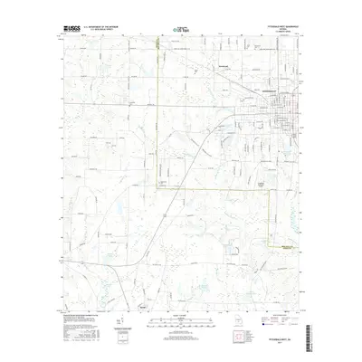
2017 Map of Fitzgerald West
USGS Topo · Published 2017About this map
Fitzgerald anchors the northeastern corner of this South Georgia landscape, where the grid of city streets gives way to the agricultural expanses of Ben Hill and Irwin Counties. The area is defined by a dense network of water bodies and slow-moving streams, including Willacoochee Creek, Walker Lake, and Hogan Lake. These features, alongside numerous ponds like Bussell Pond and Old Diz Mucke Pond, illustrate the hydrologic character of the coastal plain.
Find a feature on this map
85 named features on this map. Tap any name to fly to it.
Don’t see what you’re looking for? This feature index may not catch every label — zoom into the map to look around manually.
Map Details
Editions of this 2017 Fitzgerald West Map
This is the sole edition of this map. No revisions or reprints were ever made.
Other maps of this area

1953 · Waycross
USGS Topo · 1:250,000

1958 · Waycross
USGS Topo · 1:250,000

1972 · Fitzgerald East
USGS Topo · 1:24,000

1972 · Ocilla East
USGS Topo · 1:24,000

1972 · Queensland
USGS Topo · 1:24,000

1973 · Ocilla West
USGS Topo · 1:24,000

1973 · Waterloo
USGS Topo · 1:24,000

1973 · Irwinville
USGS Topo · 1:24,000

1973 · Fitzgerald West
USGS Topo · 1:24,000

1974 · Rebecca
USGS Topo · 1:24,000