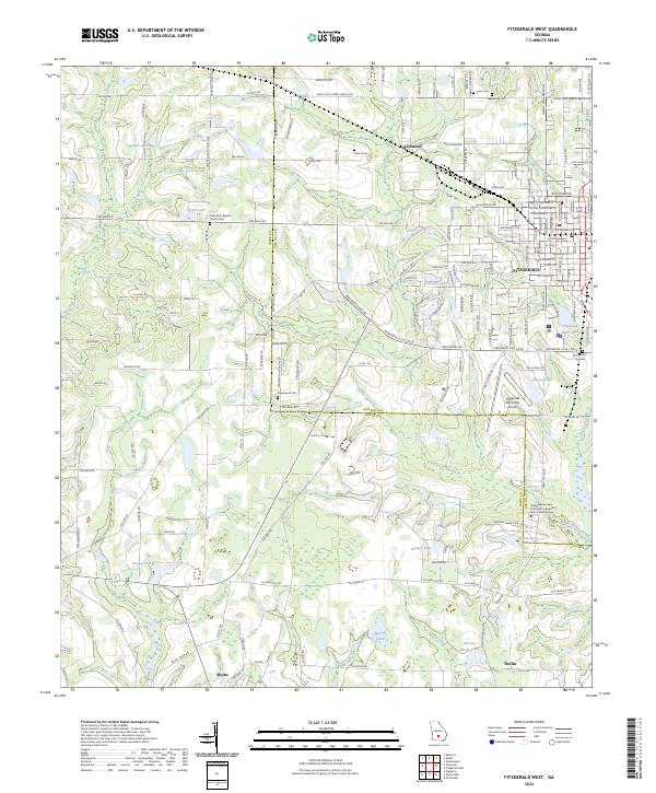
2024 Map of Fitzgerald West
USGS Topo · Published 2024About this map
Willacoochee Creek and its many tributaries, including Courthouse Branch and Stump Creek, define the drainage patterns across this section of South Georgia. The landscape is a network of small settlements and educational sites, most notably the Wiregrass Georgia Technical College Ben Hill - Irwin Campus located south of Fitzgerald. This area transitions from the more developed streets of the western half of the city to the outlying communities of Mystic and Ocilla.
Find a feature on this map
71 named features on this map. Tap any name to fly to it.
Don’t see what you’re looking for? This feature index may not catch every label — zoom into the map to look around manually.
Map Details
Editions of this 2024 Fitzgerald West Map
This is the sole edition of this map. No revisions or reprints were ever made.
Other maps of this area

1953 · Waycross
USGS Topo · 1:250,000

1958 · Waycross
USGS Topo · 1:250,000

1972 · Fitzgerald East
USGS Topo · 1:24,000

1972 · Ocilla East
USGS Topo · 1:24,000

1972 · Queensland
USGS Topo · 1:24,000

1973 · Ocilla West
USGS Topo · 1:24,000

1973 · Waterloo
USGS Topo · 1:24,000

1973 · Irwinville
USGS Topo · 1:24,000

1973 · Fitzgerald West
USGS Topo · 1:24,000

1974 · Rebecca
USGS Topo · 1:24,000