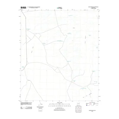
2010 Map of Fitzpatricks
USGS Topo · Published 2010About this map
The Animas Valley corridor dominates this high-desert landscape of southwestern New Mexico, where life and transit revolve around a series of managed water sources. The settlement of Fitzpatricks sits along the primary route through the valley, flanked by the Animas Mountains to the east and the San Luis Mountains to the south. This ranching environment is defined by its nomenclature of tanks, such as Schoolhouse Tank, Mailbox Tank, and Tumblinson Tank, which indicate the essential infrastructure for livestock in a region where surface water like Birch Creek is scarce. The geography reveals a carefully named network of landmarks including Red Hill and its associated Red Hill Cement Tank, reflecting the specific adaptations of local settlers and land managers to the arid terrain near the international border.
Find a feature on this map
19 named features on this map. Tap any name to fly to it.
Don’t see what you’re looking for? This feature index may not catch every label — zoom into the map to look around manually.
Map Details
Editions of this 2010 Fitzpatricks Map
This is the sole edition of this map. No revisions or reprints were ever made.
Other maps of this area

1917 · Antelope Wells
USGS Topo · 1:62,500

1918 · Walnut Wells
USGS Topo · 1:62,500

1918 · Cienega Springs
USGS Topo · 1:62,500

1918 · Animas Peak
USGS Topo · 1:62,500

1919 · Antelope Wells
USGS Topo · 1:62,500

1920 · Animas Peak
USGS Topo · 1:62,500

1923 · Walnut Wells
USGS Topo · 1:62,500

1955 · Douglas
USGS Topo · 1:250,000

1959 · Douglas
USGS Topo · 1:250,000

1961 · Douglas
USGS Topo · 1:250,000