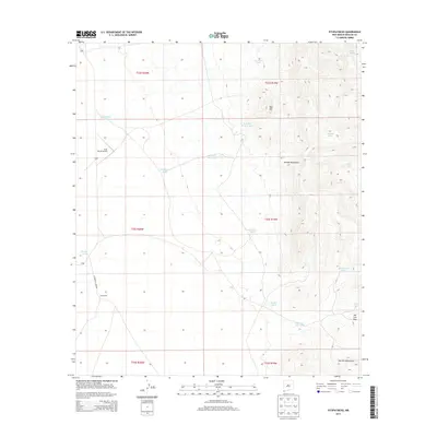
2013 Map of Fitzpatricks
USGS Topo · Published 2013About this map
Fitzpatricks anchors this high-desert landscape in the southwestern corner of New Mexico, located along Fitzpatrick Camp Rd. The terrain is defined by the significant elevations of the Animas Mountains and the San Luis Mountains, connected by the notable San Luis Pass. This region is a critical study in water management for ranching and aviation in an arid environment, featuring the Gray Ranch Airport and an extensive network of named water catchments such as Schoolhouse Tank, Mailbox Tank, and Kitchens Tank. The drainage patterns are marked by Birch Cr, which originates near Birch Spring in the northeast. This 2013 survey illustrates the sparse but deliberate infrastructure required to maintain remote outposts and livestock operations in the Bootheel region, where every named tank and pass represents a vital point of navigation and survival.
Find a feature on this map
29 named features on this map. Tap any name to fly to it.
Don’t see what you’re looking for? This feature index may not catch every label — zoom into the map to look around manually.
Map Details
Editions of this 2013 Fitzpatricks Map
This is the sole edition of this map. No revisions or reprints were ever made.
Other maps of this area

1917 · Antelope Wells
USGS Topo · 1:62,500

1918 · Walnut Wells
USGS Topo · 1:62,500

1918 · Cienega Springs
USGS Topo · 1:62,500

1918 · Animas Peak
USGS Topo · 1:62,500

1919 · Antelope Wells
USGS Topo · 1:62,500

1920 · Animas Peak
USGS Topo · 1:62,500

1923 · Walnut Wells
USGS Topo · 1:62,500

1955 · Douglas
USGS Topo · 1:250,000

1959 · Douglas
USGS Topo · 1:250,000

1961 · Douglas
USGS Topo · 1:250,000