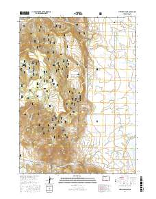
2017 Map of Fitzwater Point
USGS Topo · Published 2017About this map
Fremont National Forest dominates the western half of this Lake County landscape, where the high terrain of Fitzwater Point and Fitzwater Pass gives way to an intricate network of springs and canyons. The presence of Miners Cabin Spring, Whiskey Spring, and Mud Spring indicates a landscape historically shaped by the seasonal availability of water for early grazing and timber operations. To the east, the terrain flattens into a complex irrigation system defined by the North Canal, South Canal, and East Canal, which channel water toward the agricultural lands surrounding Drews Reservoir. This map documents a transitional zone between the timbered uplands and the high-desert valley floor. Notable water features like Barnes Slough and the northern tip of Goose Lake highlight the area's terminal drainage patterns, while the West Side Cem remains a quiet marker of the rural community established along Westside Rd.
Find a feature on this map
52 named features on this map. Tap any name to fly to it.
Don’t see what you’re looking for? This feature index may not catch every label — zoom into the map to look around manually.
Map Details
Editions of this 2017 Fitzwater Point Map
This is the sole edition of this map. No revisions or reprints were ever made.
Other maps of this area

1886 · Alturas
USGS Topo · 1:250,000

1892 · Alturas
USGS Topo · 1:250,000

1954 · Alturas
USGS Topo · 1:250,000

1955 · Klamath Falls
USGS Topo · 1:250,000

1958 · Alturas
USGS Topo · 1:250,000

1958 · Klamath Falls
USGS Topo · 1:250,000

1962 · Alturas
USGS Topo · 1:250,000

1962 · Willow Ranch
USGS Topo · 1:62,500

1962 · South Mountain
USGS Topo · 1:62,500

1964 · Drews Reservoir
USGS Topo · 1:24,000