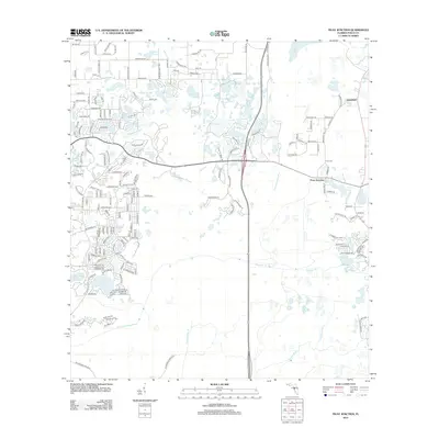
2012 Map of Fivay Junction
USGS Topo · Published 2012About this map
Fivay Junction and Greenfield sit at the center of a landscape defined by an intricate network of wetlands and drainage basins in central Florida. The topography is dominated by numerous small water bodies and seasonal flows, including Cabbage Slough, Bee Tree Pond, and Rock Lake. These waters feed into significant regional systems like the Pithlachascotee River, which winds through the southern portion of the quadrangle, and the Anclote River further east.
Find a feature on this map
177 named features on this map. Tap any name to fly to it.
Don’t see what you’re looking for? This feature index may not catch every label — zoom into the map to look around manually.
Map Details
Editions of this 2012 Fivay Junction Map
This is the sole edition of this map. No revisions or reprints were ever made.
Other maps of this area

1943 · Odessa
USGS Topo · 1:24,000

1943 · Elfers
USGS Topo · 1:24,000

1943 · Lutz
USGS Topo · 1:24,000

1944 · Elfers
USGS Topo · 1:31,680

1944 · Lutz
USGS Topo · 1:31,680

1944 · Odessa
USGS Topo · 1:31,680

1948 · Elfers
USGS Topo · 1:25,000

1949 · Odessa
USGS Topo · 1:25,000

1954 · Ehren
USGS Topo · 1:24,000

1954 · Port Richey
USGS Topo · 1:24,000