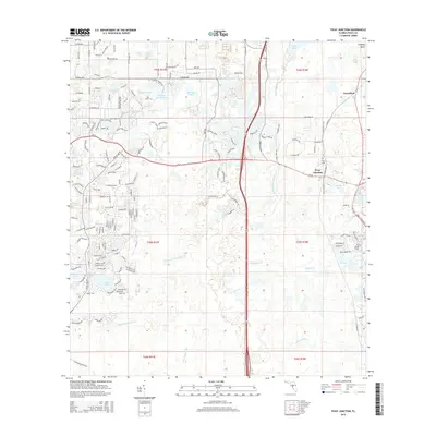
2015 Map of Fivay Junction
USGS Topo · Published 2015About this map
The Pithlachascotee River and Anclote River drainage systems define this section of Pasco County, where a complex network of wetlands and small water bodies like Moon Lake and Crews Lake characterize the landscape. Near the settlement of Fivay Junction, the historic Fivay Cem remains a notable landmark for genealogical research. The map illustrates a transitional period of suburban development, where long-established rural features like Cabbage Slough and Bee Tree Pond exist alongside an expanding grid of residential streets such as Kitten Trl and Robinhood Rd. Small settlements like Greenfield and water features including Buckhorn Cr and Fivemile Cr show the enduring influence of the local hydrography on the region's layout and growth patterns.
Find a feature on this map
174 named features on this map. Tap any name to fly to it.
Don’t see what you’re looking for? This feature index may not catch every label — zoom into the map to look around manually.
Map Details
Editions of this 2015 Fivay Junction Map
This is the sole edition of this map. No revisions or reprints were ever made.
Other maps of this area

1943 · Odessa
USGS Topo · 1:24,000

1943 · Elfers
USGS Topo · 1:24,000

1943 · Lutz
USGS Topo · 1:24,000

1944 · Elfers
USGS Topo · 1:31,680

1944 · Lutz
USGS Topo · 1:31,680

1944 · Odessa
USGS Topo · 1:31,680

1948 · Elfers
USGS Topo · 1:25,000

1949 · Odessa
USGS Topo · 1:25,000

1954 · Ehren
USGS Topo · 1:24,000

1954 · Port Richey
USGS Topo · 1:24,000