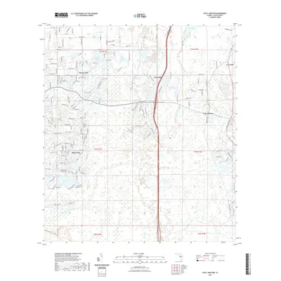
2021 Map of Fivay Junction
USGS Topo · Published 2021About this map
The Pithlachascotee River and Anclote River drain this portion of Pasco County, where the landscape is defined by an intricate network of wetlands, ponds, and sloughs. Modern residential developments like Moon Lake, Meadow Oaks, and Quail Ridge are established alongside older landmarks such as Greenfield and the historic Fivay Junction. The concentration of water features, including Cabbage Slough, Bee Tree Pond, and Crews Lake, illustrates the low-lying hydrology typical of the Florida Gulf Coast interior. For those tracing local history, the Fivay Cem stands as a focal point near the junction. The corridor is bisected by the Suncoast Trl, which follows a major north-south transportation artery through the region, connecting these growing communities while passing through stretches of remaining cypress heads and marshes like Cross Cypress Br.
Find a feature on this map
174 named features on this map. Tap any name to fly to it.
Don’t see what you’re looking for? This feature index may not catch every label — zoom into the map to look around manually.
Map Details
Editions of this 2021 Fivay Junction Map
This is the sole edition of this map. No revisions or reprints were ever made.
Other maps of this area

1943 · Odessa
USGS Topo · 1:24,000

1943 · Elfers
USGS Topo · 1:24,000

1943 · Lutz
USGS Topo · 1:24,000

1944 · Elfers
USGS Topo · 1:31,680

1944 · Lutz
USGS Topo · 1:31,680

1944 · Odessa
USGS Topo · 1:31,680

1948 · Elfers
USGS Topo · 1:25,000

1949 · Odessa
USGS Topo · 1:25,000

1954 · Ehren
USGS Topo · 1:24,000

1954 · Port Richey
USGS Topo · 1:24,000